From excavation to digitization
Topography and GIS
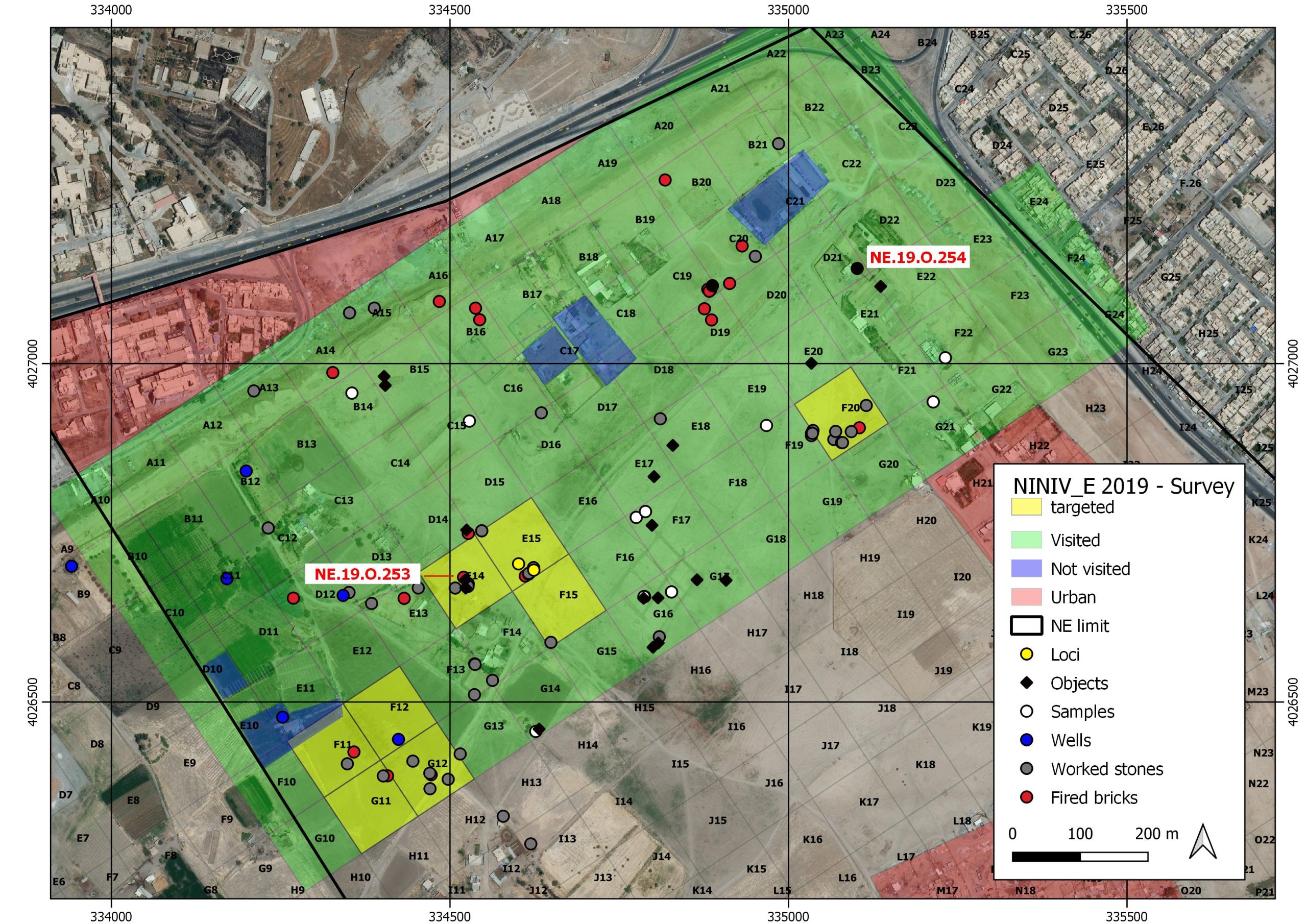
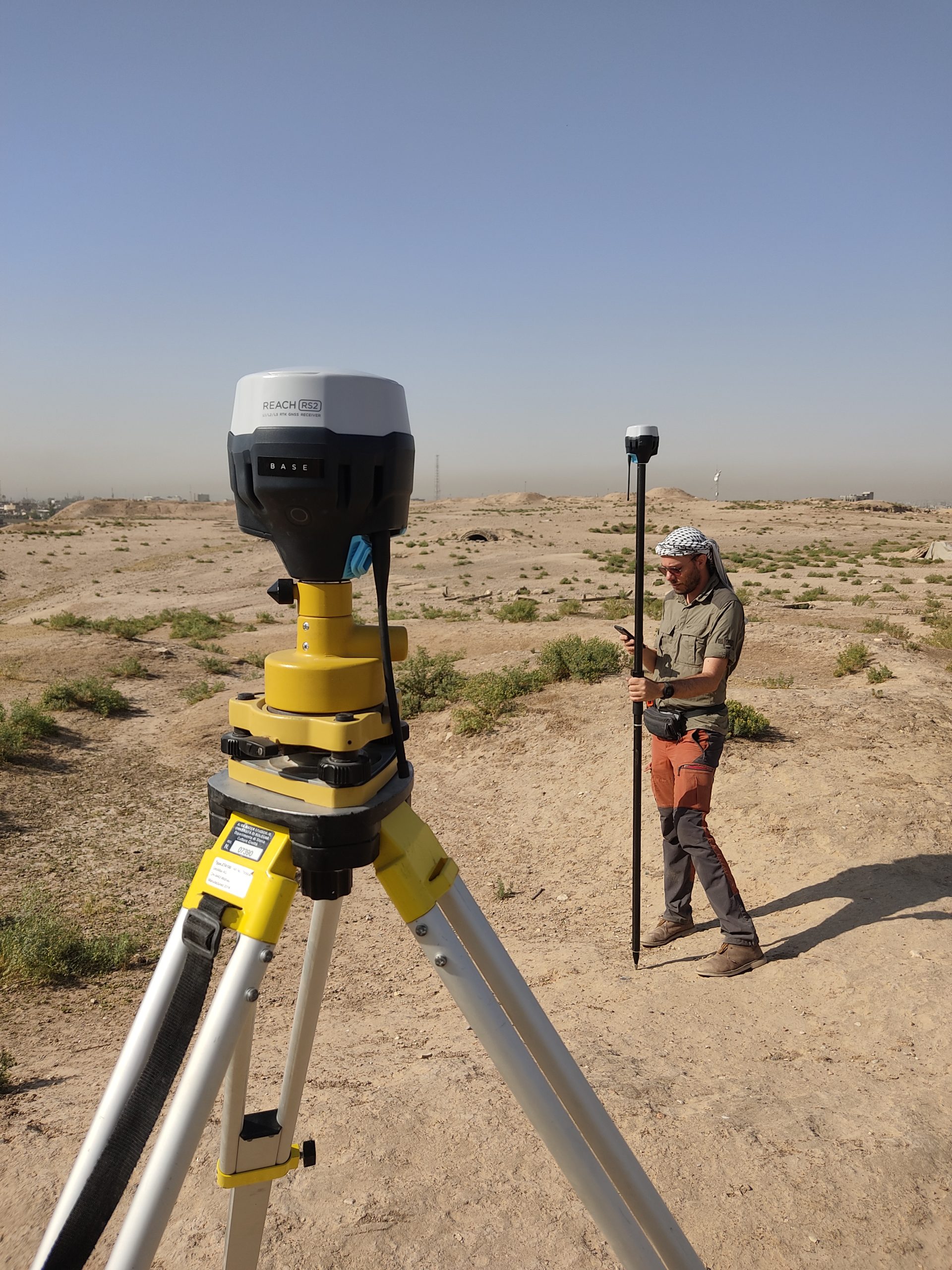
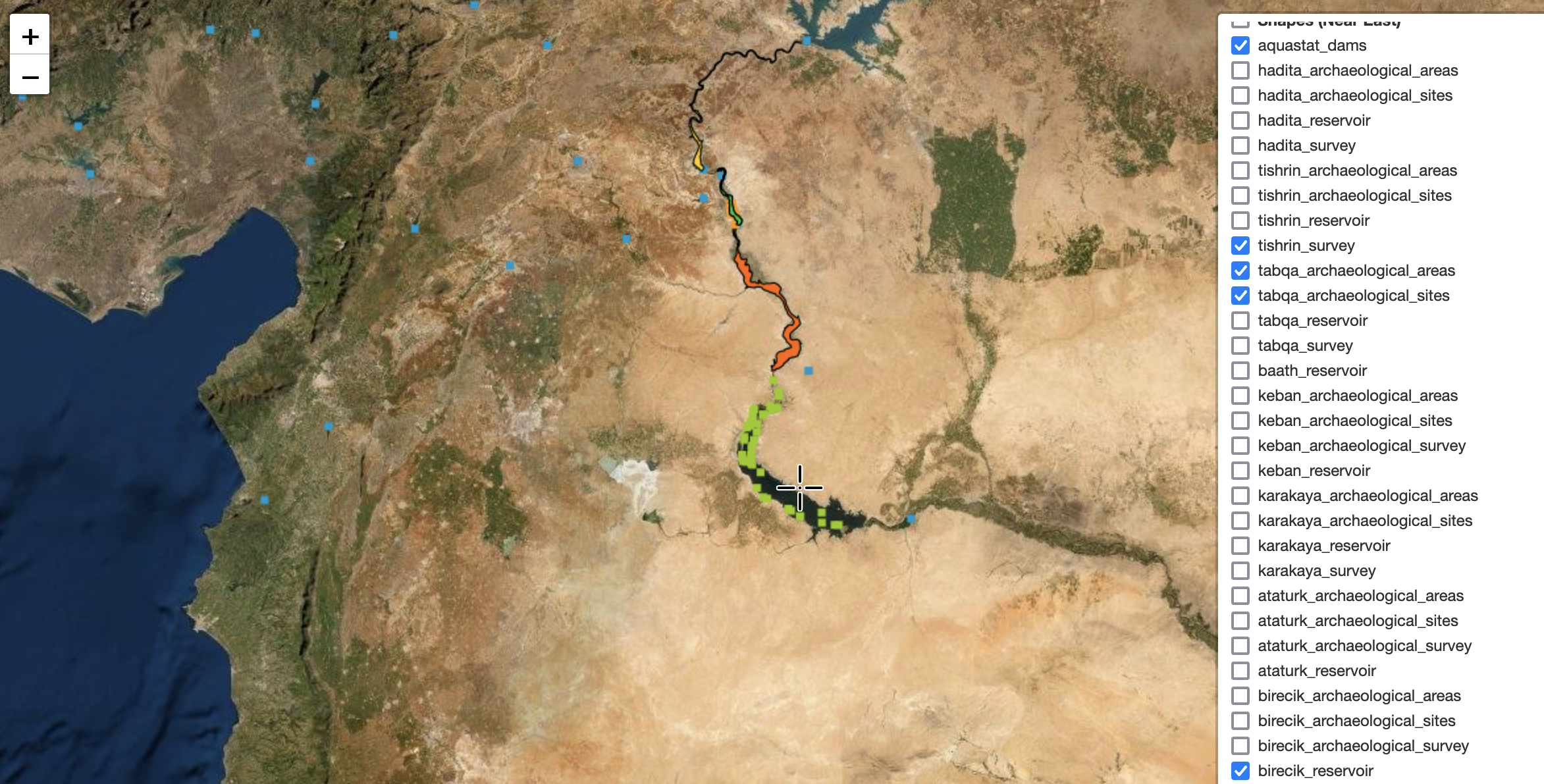
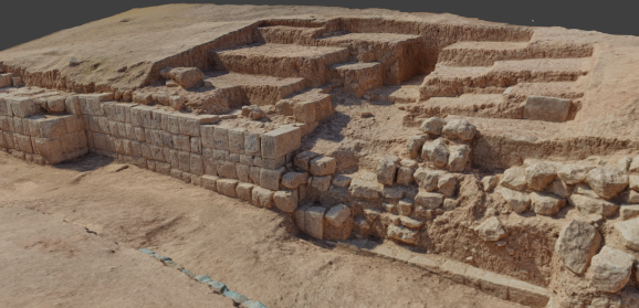
Through the use of specific instrumentation (total stations, GNSS systems, lkaser scanners, calibrated cameras, drones, etc.), we carry out topographic surveys, both of ground plans and perspectives, and perform remote sensing analysis. Through photogrammetry and software post processing, we assemble the data collected in the field or provided to us by the client in order to create 3D models and georeferenced orthophotos. Through the use of GIS programs, all the information collected in the field or from the archives is recorded, analyzed, and queried.
Photogrammetry and 3D
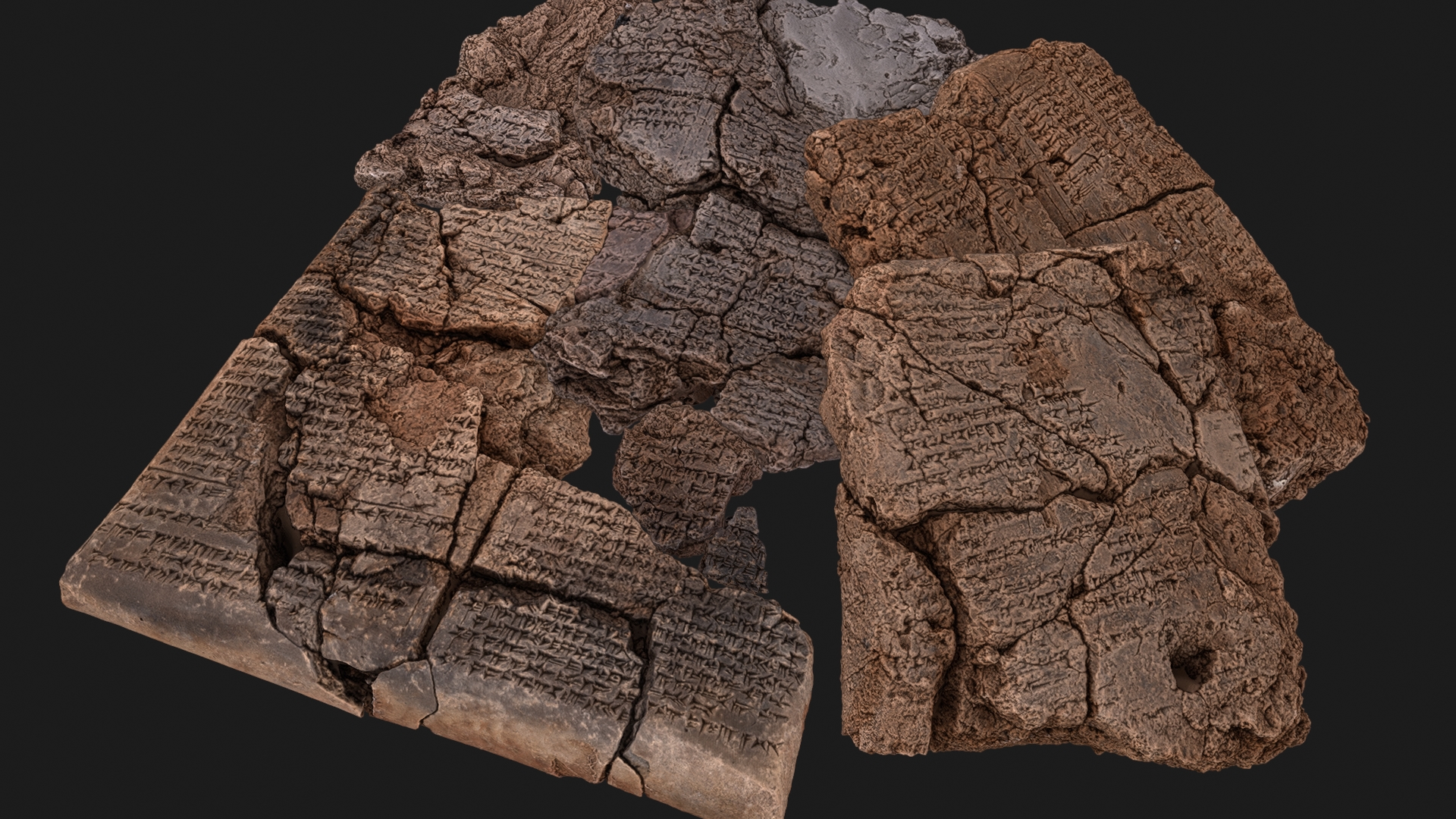
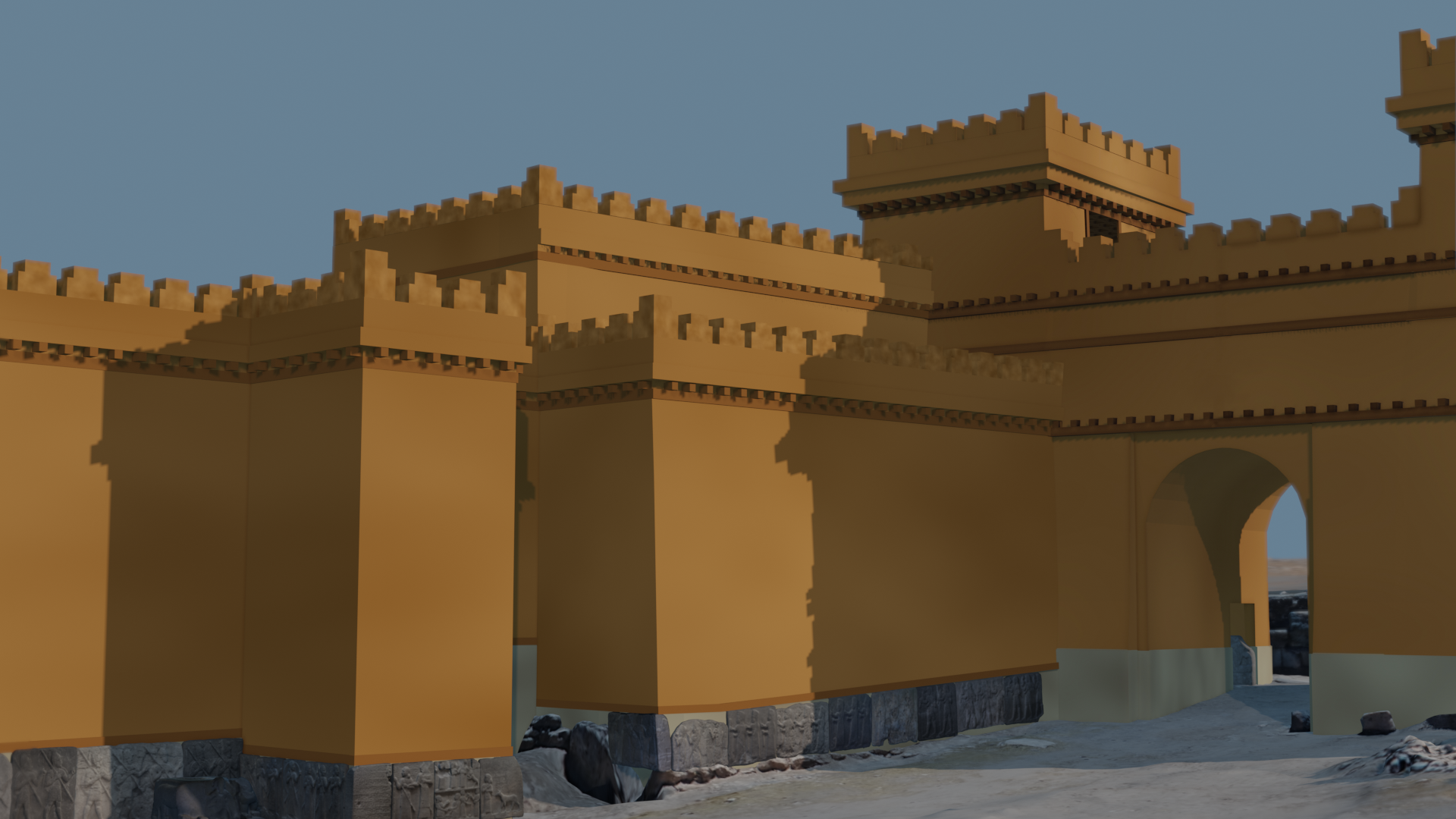
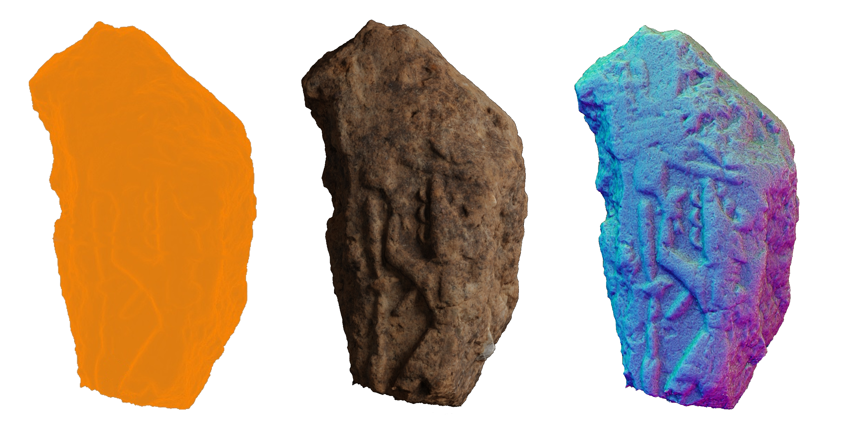
Archaeology and 3D is an essential combination for the study, dissemination and conservation of Cultural Heritage. Through non-invasive techniques and instrumentation, in order to minimize the possibility of causing damage to the object under investigation, we can produce exact digital replicas of artifacts, buildings, and archaeological contexts, making them effectively usable by anyone, anywhere and at any time. We offer multiple solutions, fully customizable for individual needs through the use of generated models:
– locally, through multiple 3D graphics programs or through customized applications;
– via web, using platforms such as Sketchfab, 3DHOP or with ad-hoc developed web applications;
– on mobile, including with custom applications that support augmented reality.
Digitization from analog
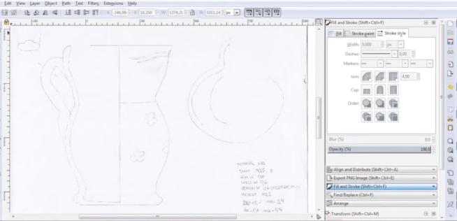
Analog archives (i.e. documents in format) often require a conversion to the digital format in order to be managed in integrated systems functional for data analysis and publication. The basic services include digitization through OS programs of drawings of archaeological materials (pottery, clay, stone and metal objects, etc. from completed or ongoing archaeological surveys and excavations, and from public and private museum collections); of plans or other architectural drawings; the trasfer into digital archives of diaries, sheets, SUs, materials, etc.
Excavation and survey services
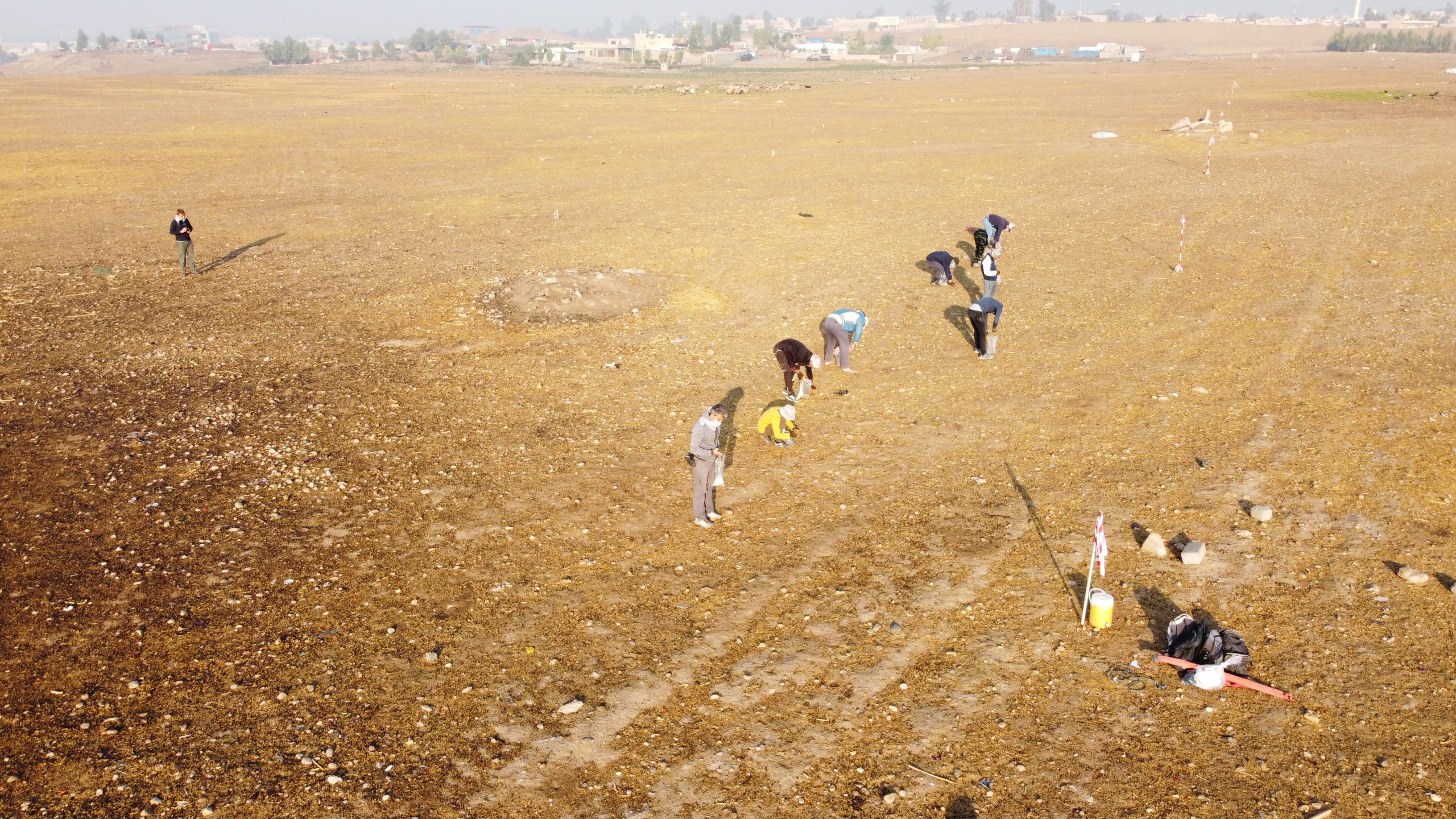
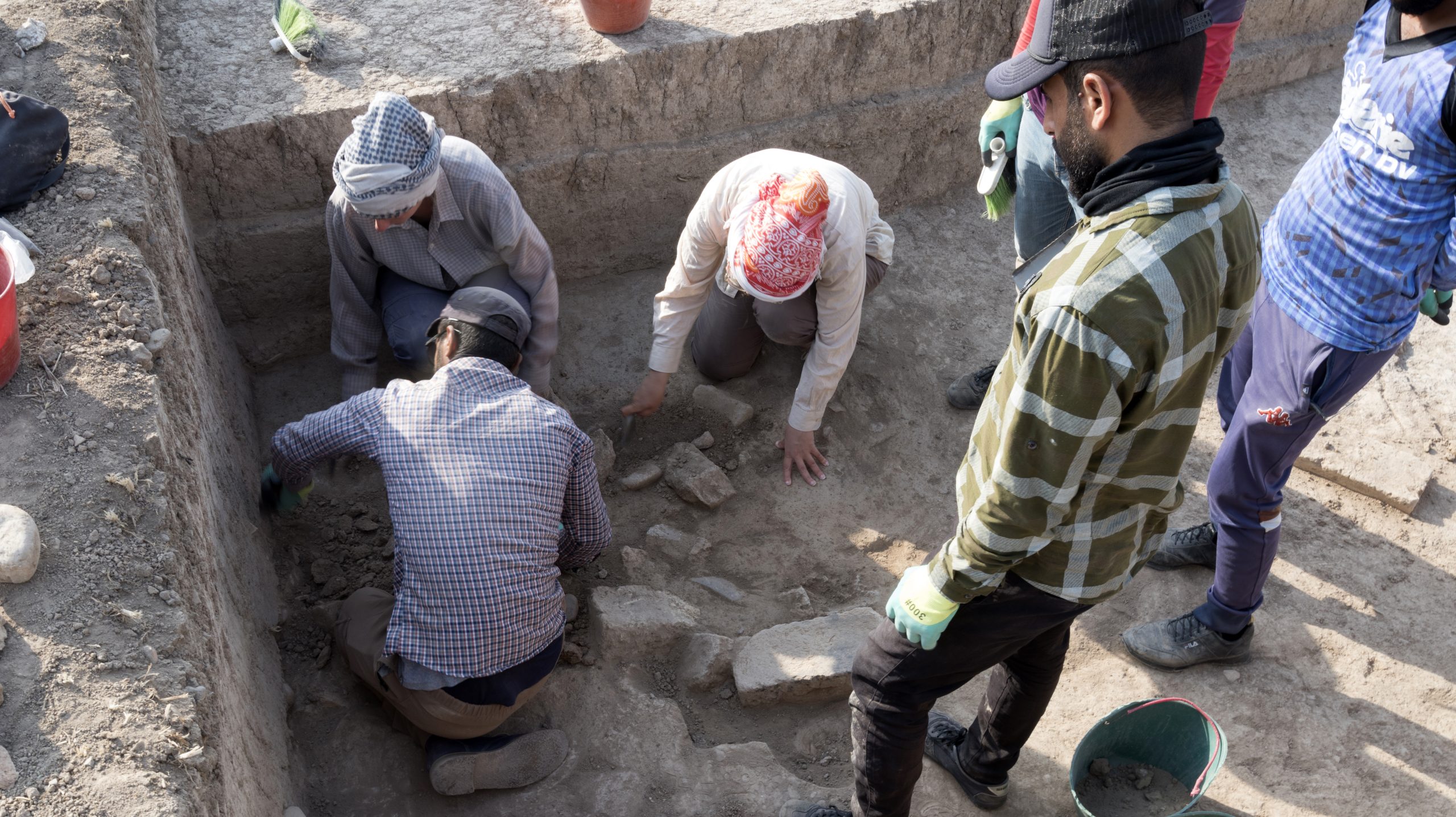
Excavation and survey operations require perfect documentation of both the stratigraphy with its associated materials and the surface distribution of anthropogenic evidence and geomorphological units. Nearchos is able to integrate its workflow with the procedures of any research team and with their documentation standards, to actively conduct or assist in field activities, and to deliver a complete documentation agreed upon with the client in a format ready for publication.